
Image
Press release from Gretchen Driskell, Water Resources Commissioner
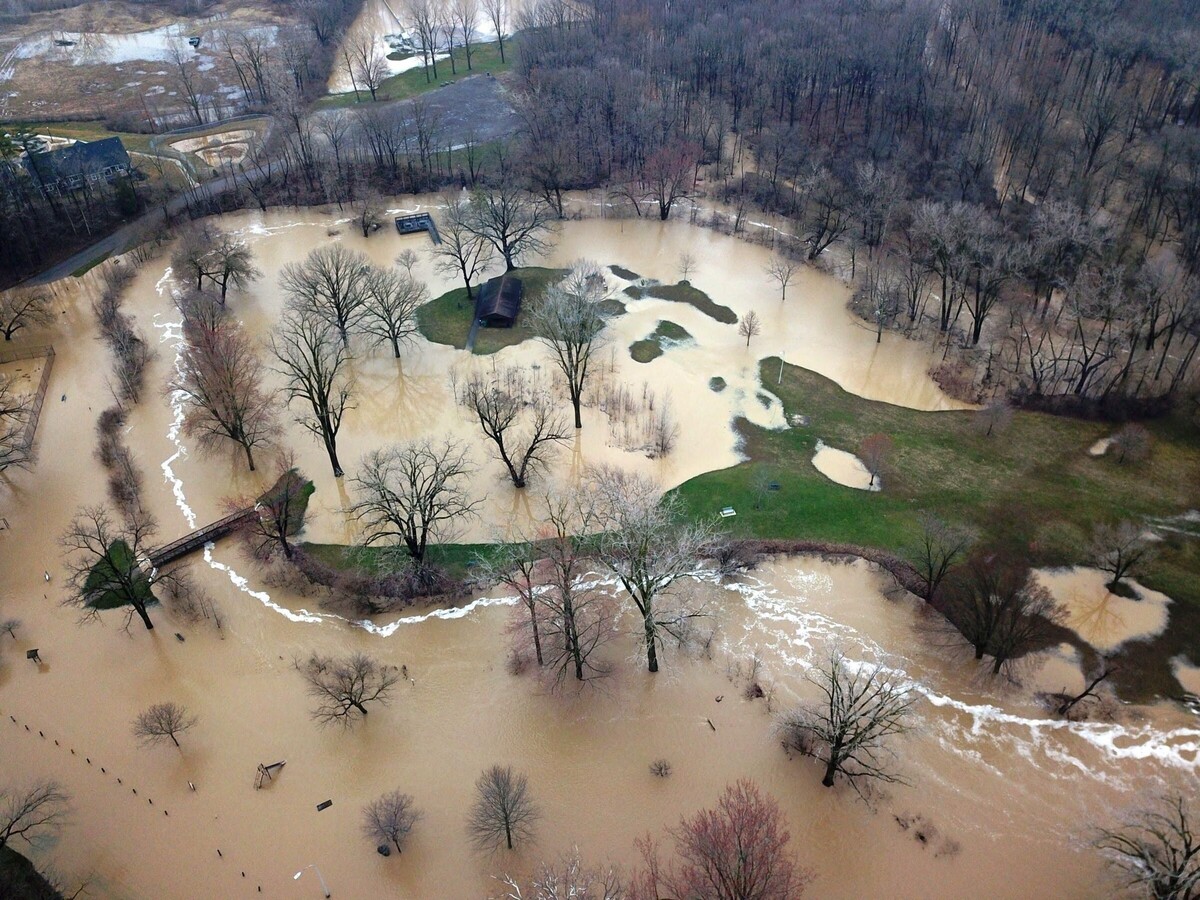
A Flood Watch has been issued by the National Weather Service until 3 p.m. on April 3, 2025. Several rounds of showers and thunderstorms will impact southeast
Michigan Wednesday and Wednesday night, producing periods of heavy rainfall. The heaviest rainfall rates develop Wednesday evening and overnight in which rates may exceed a half inch per hour for several hours. A widespread 1 to 2 inches of rainfall is expected by Thursday morning, with higher amounts possible if thunderstorms repeatedly impact the same area.
Water Resources Commissioner Gretchen Driskell reports that all field staff are working throughout the County to address various drainage concerns. Responses are prioritized based on critical criteria such as safety, public health concerns, imminent damage, and impassable road conditions. Residents are encouraged to reporting drainage issues. Providing pictures may help redirect staff to the areas that require immediate attention. Report concerns by:
After-hour emergencies should be reported by calling 911.


Sunny, with a high of 90 and low of 65 degrees. Sunny in the morning, clear overnight.


Mr Girbach,
Thank you loyal service to to community.
Your a total gentleman, someday I'll have an opportunity to meet you and shake your hand.
Let me take my "filter off" for a moment.